
BRYSON, Monterey County — October 30, 2026. Searching for the “Bryson Fire” this fall can return two entirely different incidents in California. One burned 16 acres along Sapaque Road in the Bryson area of southern Monterey County on August 9–10, 2026. The other started on October 15, 2026, near Encinal Canyon Road in Malibu, Los Angeles County, and CAL FIRE’s final public incident entry lists 146 acres. Those are separate fires more than a hundred miles apart, even though both agencies used the same incident name.
This distinction is especially important for residents, ranchers and travelers in the rural Bryson area. A search result showing October evacuations or a much larger fire is not proof that the old Sapaque Road incident started burning again. To find out whether any current emergency affects a specific address, use the county, location, date and evacuation-zone identifier, not only the incident name.
The Monterey County Bryson Fire: August 9–10
CAL FIRE’s Monterey County incident archive lists the August fire as having started at 4:13 p.m. Sunday, August 9, at Sapaque Road, Bryson. CAL FIRE identified the responding jurisdiction as its San Benito–Monterey Unit, reported an eventual size of 16 acres, and recorded 100% containment by 8 p.m. Monday, August 10. The cause remained labeled under investigation in the last public update.
The Monterey County Sheriff’s Office issued an evacuation warning for Zone MRY-G047 at approximately 6:20 p.m. on August 9. Later that same evening, at 10 p.m., the sheriff reported that the warning was lifted. Those are historical notices. They do not create a new warning in October, and anyone checking today’s safety conditions must consult the live Alert Monterey County service.
California58’s earlier local story about the August wildfire remains the primary report on the Sapaque Road event. This new article concerns the later name collision with a different October fire and explains how to avoid confusing the two incidents.
The Los Angeles County Bryson Fire: October 15–19
CAL FIRE has a separate entry dated October 15 for the fire in Los Angeles County. Its mapped location is near Encinal Canyon Road and Malibu, and the jurisdiction listed is the Los Angeles County Fire Department. The official entry records a start time of 4:41 p.m. October 15, a final reported size of 146 acres, and 100% containment by 6 p.m. October 19. The cause was listed as under investigation. The two incident records have different dates, jurisdictions, map coordinates and response agencies; there is no documented shared ignition source.
The Los Angeles County notice dated October 17 described the lifting of its fire-related evacuation orders and warnings. It said emergency personnel had been pre-positioned for red-flag conditions and that over 414 responders were assigned at the peak. Those Los Angeles evacuation notices did not apply to Monterey County’s MRY-G047 zone. Conversely, a lifted Monterey warning in August says nothing about whether residents near Malibu needed to evacuate two months later.
How to tell two identically named fires apart
Always compare the county, the incident start date, the road or landmark, and the agency with jurisdiction. For these two records, the distinguishing details are simple:
- Bryson, Monterey County: August 9; Sapaque Road; 16 acres; CAL FIRE San Benito–Monterey Unit; warning zone MRY-G047.
- Malibu, Los Angeles County: October 15; Encinal Canyon Road; 146 acres; Los Angeles County Fire Department; Los Angeles-area warnings.
The common name does not mean the same perimeter appears on two maps, and acreage reported mid-fire is not necessarily the final acreage. A photo or screenshot without a timestamp, source agency or county can be misleading even when it reproduces a real agency update.
Where to check today
For Monterey County residents, check Alert Monterey County for evacuation information, CAL FIRE incidents for confirmed fire records, and county road-closure notices for travel impacts. If an immediate threat is present, call 911 rather than relying on an archived news article. This article does not assert that any new Bryson wildfire or evacuation order was active on October 30.
Official primary sources: CAL FIRE, Bryson Fire, Monterey County, August 2026; CAL FIRE, Bryson Fire, Los Angeles County, October 2026; Monterey County Sheriff, August warning lifted; Los Angeles County, October evacuation update.
Corrections or verified local information: California58 Newsroom. The historic incident records do not replace real-time emergency notices.
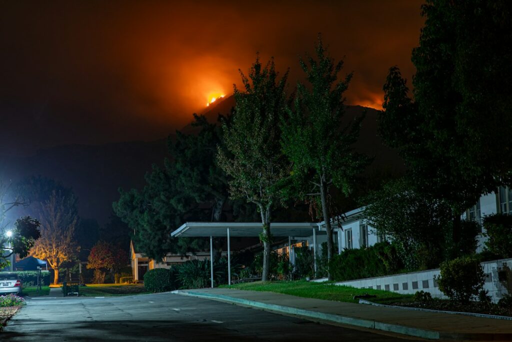
Featured photograph: 2020 Bobcat Fire in California, by Nikolay Maslov / Unsplash. Strictly illustrative; it does not depict either 2026 Bryson Fire.
Help this community newspaper grow
Your support helps build coverage for the people and places this local newspaper serves.
Donate once by card ↗Support Bryson News
Choose how to support Bryson News:
Credit / Debit Card via StripeChoose an amount from $1. One-time support through the publisher's LINKERNO Stripe account.
Continue with PayPal Continue with ZelleZelle payments go to Vitaly Ataev Troshin. Please verify the recipient in your bank before sending. Availability depends on your bank.
Optional reader support. When possible, add “Bryson News” to the payment note. Contributions are not advertised as tax-deductible. Support does not influence editorial decisions.More from Bryson News
- Bryson-Area Visitor Guide: Julia Morgan’s 1930 Hacienda Is an Army-Operated Public Hotel — But Base Vetting Is Required →
- Near Bryson, Fort Hunter Liggett Marks 85 Years: From 1941 Ranch-Land Reservation to 2026 Community Open House →
- Bryson-Area Outdoors: Fort Hunter Liggett Lists November Check-Station Dates and October Fishing Areas →
- Bryson Fire Reached 100% Containment in August: CAL FIRE Documents 16 Acres on Sapaque Road →
COMMUNITY
Comments
Join the California58 conversation. You must be signed in to comment.
Create a free California58 account or sign in with an available social provider.